In 1823, an Act of Parliament was passed, lifting the ban on the burial of suicide victims in consecrated ground. The practice likely continued despite the legislation. According to superstition, the souls of those who took their own lives would return to haunt their families, or their bodies would be reanimated as vampires. Consequently, suicide victims would be buried at a crossroads or a parish boundary to prevent the unquiet spirit or vampire from returning to their community.
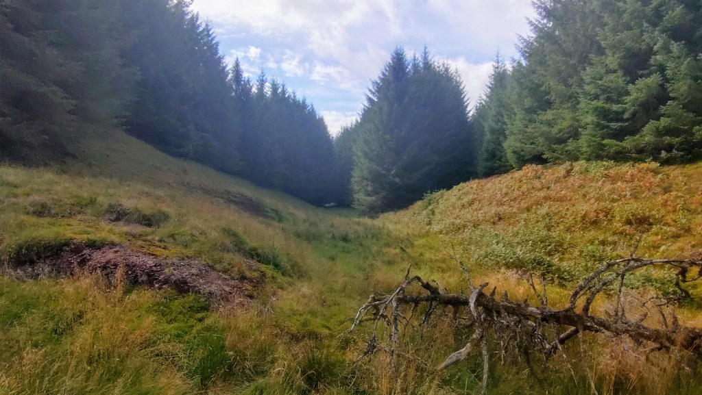
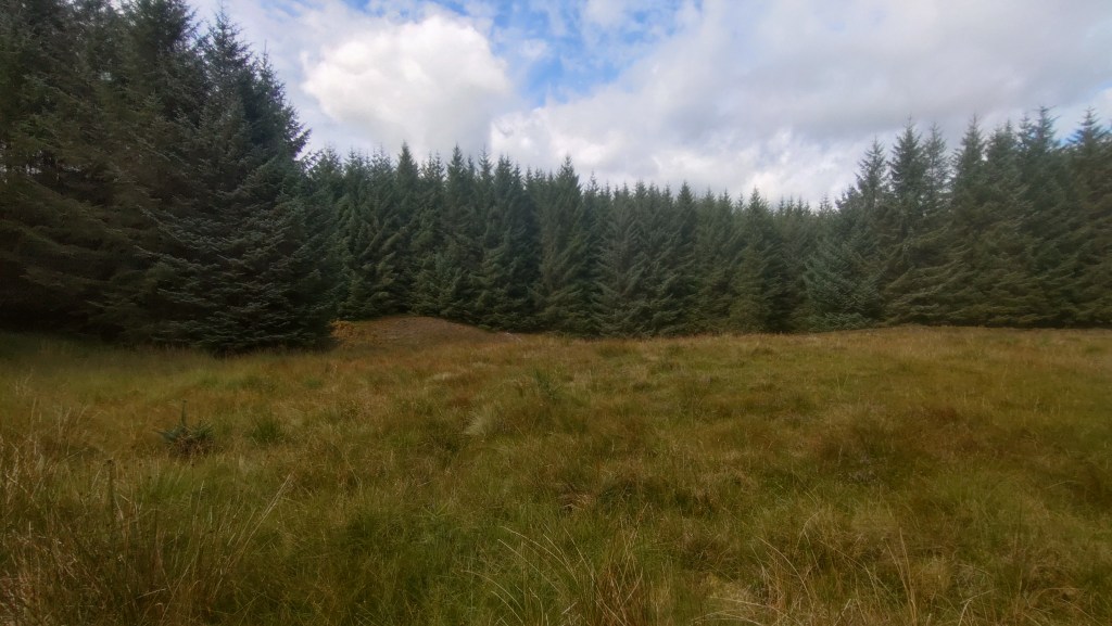
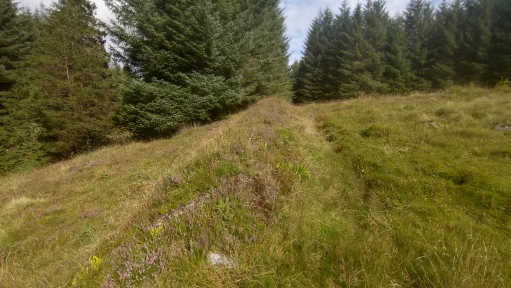
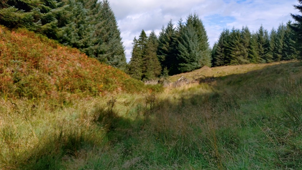
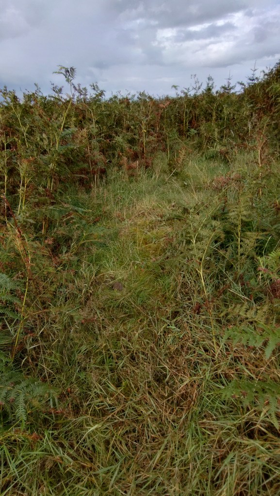
The location of Braco Suicide Graves is uncertain. Ordnance Survey maps pinpoint the site in a clearing within Forestry Commission woodland north of Braco, west of Corrieour. Access is via a track that passes the farm, through a gate, and into the woods. The track ends near the edge of the woodland. Those wishing to proceed can either follow one of the unplanted pathways between the trees (wellies are advised, as the ground is highly marshy and waterlogged). As per superstition, the supposed graves are located on the boundary between the historical parishes of Adroch and Muthill. Sources I consulted before visiting confirm that the Forestry Commission deliberately left the land unplanted to avoid disturbing the graves.
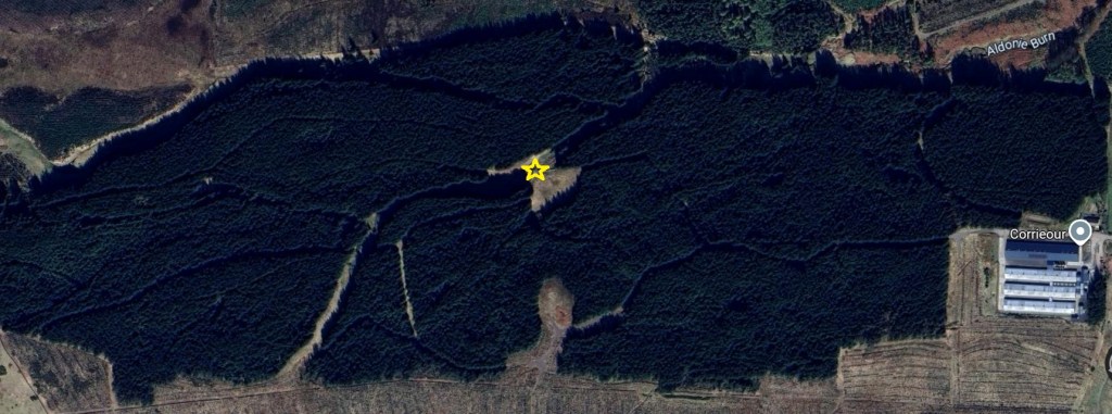
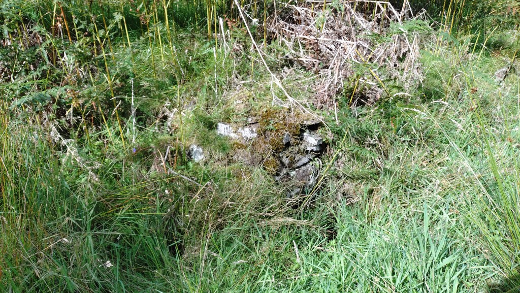
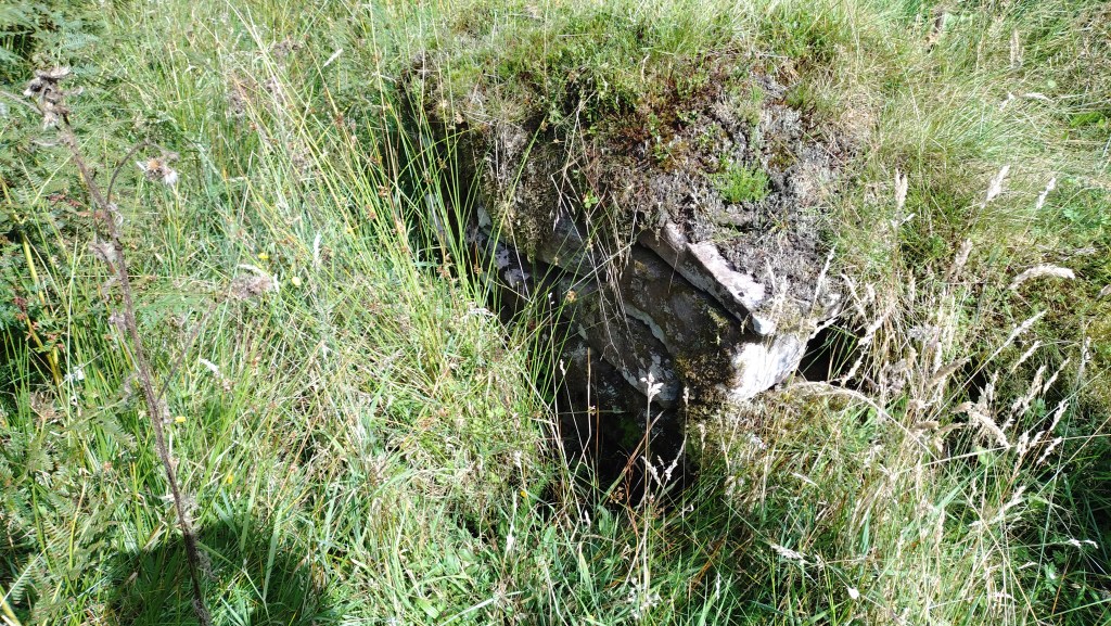
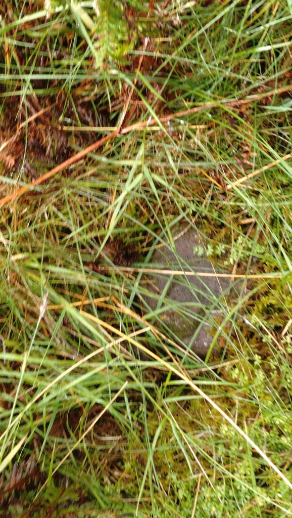
Historic Environment Scotland (HES) suggests that the graves date from the late Medieval times, though it is impossible to say for sure. There are very few clues indicating how the site was used (if it was even used as a burial ground). A visible mound at the eastern corner of the clearing potentially marks the boundary between Ardoch and Muthill. Towards the western edge, the remains of two miscellaneous stone piles are partially visible. These may be makeshift grave markers or the remnants of a wall.
Dougal’s Cairn:
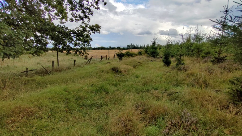
Dougal was a local doctor who took his own life in 1837. He was supposedly buried where he had completed suicide – if true, this is a testament that the exclusion of suicide victims from consecrated ground persisted despite the 1823 legislation. His grave was marked with a cairn; over the years, locals added stones. According to PastMap, the cairn is located north-east of the Suicide Graves, within what is presently the Forestry Commission’s Muirhead Plantation. There are no longer any paths or tracks, and the ground between the trees is choked with bracken and heather, making it impossible to determine the cairn’s exact location. Whilst exploring the area, I felt what appeared to be a loose pile of stones underfoot, obscured by vegetation. There is no way to determine if this is a random group of rocks or the remains of Dougal’s Cairn. As the area has been enveloped by commercial forestry, the practice of adding stones was abandoned many years ago, and likely before the Forestry Commission became the custodian of the land. In addition, I encountered what may be further remnants of the parish boundary. It is not improbable to suggest that the Suicide Graves could be in the Muirend Plantation.
Sources:
Glasgow and West of Scotland Family History Society
Historic Environment Scotland
McKerracher, A., Perthshire in History and Legend (John Donald Publishing, 2000).
Myring, L., Supernatural Guides, Vampires, Werewolves & Demons (Usbourne Publishing Ltd, 1979).
PastMap
